

How did New Jersey get to be a state of 565 municipalities? Land grants, local agriculture, and deciding which roads to build and maintain. Part one in an ongoing collaborative reporting series.
By Matt Skoufalos | April 30, 2018
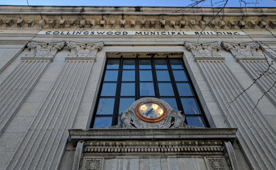
Collingswood Borough Hall was designed in 1926 for the Collingswood Trust Company but closed not long after the 1929 stock market crash. Credit: Matt Skoufalos.
Last year, NJ Pen was awarded a collaborative reporting grant from the Center for Cooperative Media to identify the challenges behind municipal mergers — combining towns into a single governmental entity — and to get at the roots of the ideas behind “home rule” politics.
Together with our partners SNJ Today, Courage to Connect NJ, and University of Pennsylvania graduate student Dave Maynard, we’ll be exploring those questions in a reporting series entitled “Local Controls.”
At the root of this academic exercise is a simple question: What would it look like to organize six Camden County communities—Audubon, Collingswood, Haddon Heights, Haddonfield, Haddon Township, and Oaklyn—into a single entity?
Would the resulting community be more affordable? More equitable? More efficiently administered? Better able to adapt to future challenges? Could any of it be done at all without compromising notions of local identity?
We’re going into this project to explore a number of ideas around public policy and community values. In the next few months, we’ll be taking a deep dive into the underlying structure of these communities in a variety of ways, from traditional reporting to live events to multimedia packages.
In this first installment, we explore a big driver of 19th-century local development in New Jersey: the railroads.
=====================================================================================
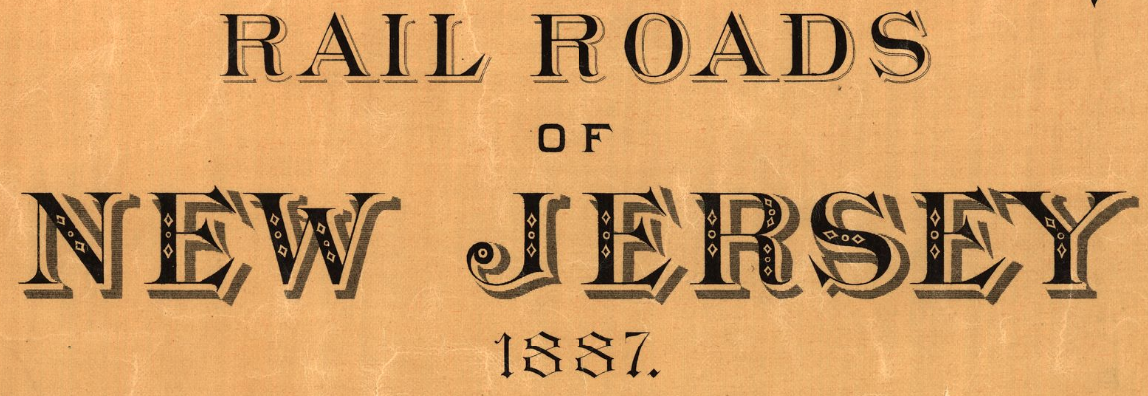
Map of the rail roads of New Jersey (1887). Credit: Library of Congress Geography and Map Division Washington, D.C.
The United States entered the 19th century as an 11-year-old country with a 16-state footprint and a population of 5.3 million.
By 1900, it was a nation of 76 million people spread across 45 states.
Just as the national headcount multiplied by a factor of 13 in that time period, New Jersey’s population increased eightfold, from some 211,000 to more than 1.8 million people.
Along the way, its municipality count climbed, too.
From 1604 to 1702, the provinces of East and West Jersey were home to 12 townships apiece. By 1798, the amalgamated New Jersey contained 104 communities, leaving no unincorporated land in the state. By 1834 there were 125 distinct towns, and by 1926, there were more than 540.
How did it get this way?
In short, the population boom meant a greater demand for food, and farmers needed a functioning road network to deliver it. As ever, New Jersey’s fortunes turned on its logistics.
Forming into townships gave communities the authority to recruit the funds (“the hire method”) or the people (“the labor method”) to build and maintain the roads on which those goods could travel.
The 1903 Thirty-First Annual Report of the State Board of Agriculture notes:
The roads, once laid out, were entrusted to the care of road overseers, road commissioners, road boards, and the like… in most cases, these were elected at the annual town meeting by the legal voters who were empowered by law to elect “as many overseers of the highways as they shall deem necessary or convenient.”
Other townships were divided into road districts, and the voters therein would elect their overseer at a special district meeting called for that purpose. And there were still others where road commissioners were elected at the town meeting. These had supervisory powers over the overseers.
In short, New Jersey’s arguments over who should build and fix its roads is a historic one, and the divisions of responsibility that sprung from it underpinned the political subdivisions that would follow.
In the debate over which roads to pave (and how to pay for it), state and local representatives often differed on the direction of these funds. The Borough Act of 1878 enabled the further micro-division and localization of those resources.
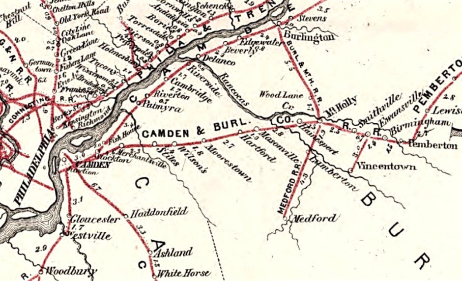
Map of the rail roads of New Jersey, and parts of adjoining states (1869). Credit: Library of Congress Geography and Map Division Washington, D.C.
Alan J. Karcher, a former New Jersey state assemblyman and the author of New Jersey’s Multiple Municipal Madness, notes that the Borough Act “was setting a hurdle that had to be crawled under rather than jumped over.
“Any group of citizens owning the requisite taxable property”— defined as four square-miles or less and 5,000 people or fewer—“could trigger a special election on very short notice, on the issue of incorporating a borough that would be officially recognized by the state,” Karcher wrote.
“What had been the exclusive power of the legislature was now delegated to the voters themselves.”
Karcher adds that there are no examples of New Jersey voters rejecting an incorporation referendum from that era.
At the time, voting rights were limited to white, land-owning males and unmarried, white women; naturally, males who owned the most land had the most political clout. Few entities owned more land across the state, however, than did railroad companies.
In 1815, New Jersey became the first state in the union to issue a railroad charter, to the Camden and Amboy Railroad and Transportation Company. Camden and Amboy was tasked with connecting its two titular cities by rail, starting “at some point or points between Cooper’s creek and Newton Creek,” according to Camden & Amboy R.r. and Delaware Raritan Canal: Pamphlets, Volume 1.
The success of the railroad enterprise owed in no small part to its artificially low tax rate and generous land grants from the state: incentives given as the prize for infrastructure development. Eager for the same benefits, others soon followed.
Only 17 years after the Camden and Amboy charter was issued, five more railroad corporations also began operating in New Jersey: the Paterson and Hudson River Railroad, the Elizabethtown and Somerville Railroad, the New Jersey Rail Road and Transportation Company, and the New Jersey Hudson and Delaware Railroad.
These were all established long before the federal Land Grant Act of 1850, a railroad-building catalyst that delivered into private hands 131 million acres of public land over the following 21 years, dramatically escalating its value thereafter.
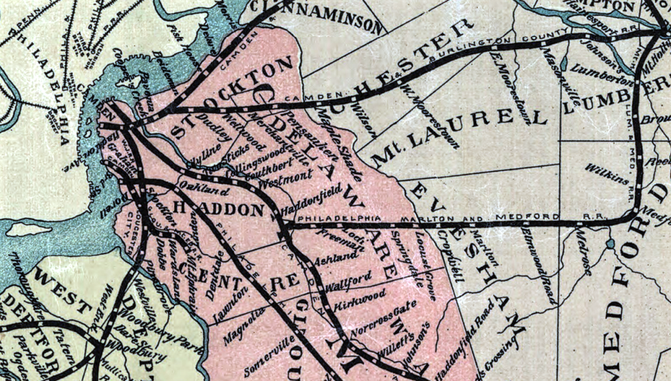
Map of the rail roads of New Jersey (1887). Credit: Library of Congress Geography and Map Division Washington, D.C.
By 1867, the industry was mature enough to consolidate, and Camden and Amboy merged with the New Jersey Rail Road and Transportation Company to form the United New Jersey Railroad and Canal Companies.
The conglomerate directly controlled 269 miles of main track and about 55 miles of terminal tracks and sidings, according to its first annual shareholder report.
It also controlled more then 200 miles of feeder roads for “the double purpose of bringing business to the main lines, and of supplying the neighboring districts with roads, worked in harmony instead of competition with those lines.”
The most important of these are the Belvidere Delaware Road, extending from Trenton, 67 miles up the valley of the Delaware, and the West Jersey Road, from Camden south, and its branches, which practically extend the road from Amboy, via Camden, to Cape May. The Belvidere Delaware and West Jersey Roads form part of a continuous line, extending from Cape May 180 miles, to Belvidere, and crossing the main lines of our work, so as to form an X.
Proof of the railroad concept thus realized, land-scarce New Jersey began seeking the dividends of its investments. In 1884, the state convened a board of tax assessors to evaluate the properties held by its canal and railroad owners.
By 1897, taxes from “second-class” railroad and canal properties—anything outside of 100 feet of the tracks and waterways themselves—were payable “to the various taxing districts traversed by a railroad or canal,” according to Winthrop M. Daniels’ “Taxation of Railroad and Canal Property in New Jersey,” which appeared in the August 1906 Quarterly Journal of Economics.
“The previous maximum limit on the local tax rate (1 per cent) was done away with,” Daniels wrote.
To limit their increased tax liabilities, railroads began selling off unused portions of their land grants. Thanks to the Borough Act, they could call for votes of incorporation in any area where they owned more than 10 percent of the land, installing local officials in the newly formed towns along their lines of service.
Many of the communities in Camden County (est. 1828) were incorporated in this period from sections of Newton Township, one of the original communities of New Jersey.
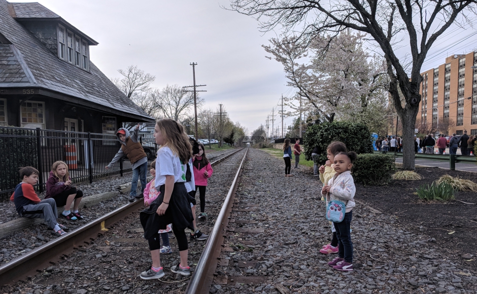
Children play outside the Haddon Heights train station at the 2018 Rhythm and Brews music festival. Credit: Matt Skoufalos.
Founded in 1695, Newton Township was incorporated in 1798, and remained part of Camden County from 1844 to 1871, when it was dissolved with a population of less than 25,000.
Just six years earlier, Haddon Township had self-incorporated from Newton Township (Feb. 23, 1865).
Haddonfield spun off a decade later (April 6, 1875), followed by Collingswood three years after that (May 22, 1888).
Haddon Heights was incorporated March 2, 1904, and neighboring Audubon and Oaklyn both did the same on March 13, 1905.
The latter three communities all lie along former commuter rail lines that now offer limited freight service.
Although their tracks no longer move the volume of people they once did, the communities in which they are situated still have roads to pave and children to educate, the costs of which have outstripped the local means to do so unaided.
Whether the establishment of a broader local tax base might address these and other functions of government while spreading out the costs of these services is a question we will explore in the next installment of this series.
NJ Pen is free thanks to regular, small contributions. Please support our work. Get e-mails or follow on Facebook, Twitter, and Instagram.


